Location Map

Nearby Places

Primary Schools

  1. Book Point Pte Ltd (0.41 km)
  2. Stamford Primary School (0.61 km)
  3. Farrer Park Primary School (1.68 km)
  4. Home Campus (1.95 km)
  5. Anglo-Chinese School (Junior) (2.06 km)

Secondary Schools

  1. Book Point Pte Ltd (0.41 km)
  2. Outram Secondary School (2.57 km)
  3. Maths Master Chin (2.68 km)
  4. Dunman High School (2.82 km)
  5. Bendemeer Secondary School (2.92 km)

MRT Stations

  1. Bugis MRT station (0.12 km)
  2. Esplanade MRT station (0.59 km)
  3. Bras basah MRT station (0.71 km)
  4. Bencoolen MRT station (0.72 km)
  5. Promenade MRT station (0.76 km)

Nearest Hospitals & Clinics

  1. TANGS CLINICAL CENTRE TCM (0.15 km)
  2. Syndrome hospital (0.24 km)
  3. Raffles Hospital (0.31 km)
  4. Raffles Executive Medical Centre (0.32 km)
  5. Raffles Heart Centre (0.32 km)

Parks & Recreation

  1. Fountain of Wealth (0.47 km)
  2. War Memorial Park (0.67 km)
  3. Fort Canning Park (1.25 km)
  4. Merlion (1.33 km)
  5. Istana Park (1.45 km)

Supermarkets

  1. Giant (0.44 km)
  2. Cold Storage (0.61 km)
  3. FairPrice Xpress Peace Centre (0.88 km)
  4. FairPrice Tekka Place (0.97 km)
  5. Thai Supermarket (1.03 km)

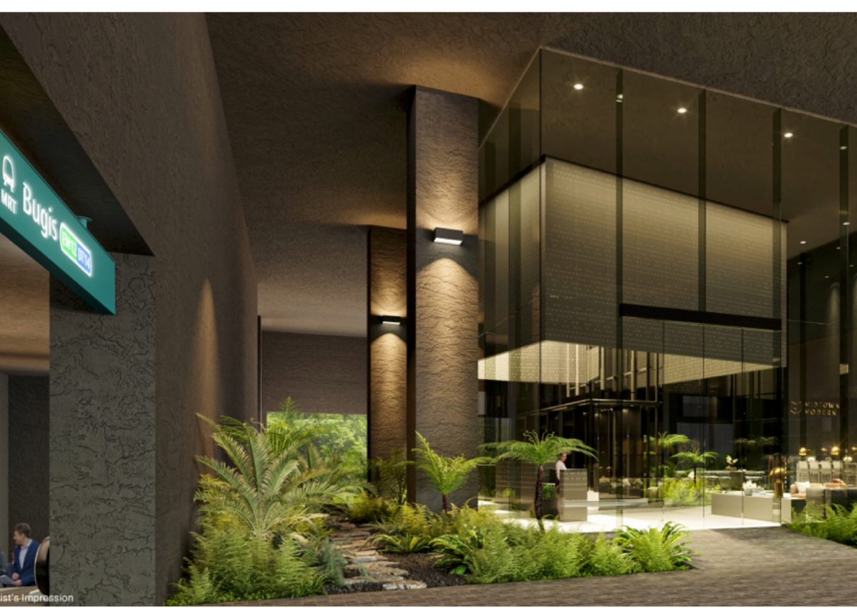
Located right next to Bugis MRT interchange station, with easy connectivity to 4 MRT lines of Singapore: East-West Line, North South Line, Circle Line and Downtown Line. Additionally, there is also great connectivity to 3 major expressways: East Coast Parkway (ECP), Marine Coastal Expressway (MCE) and Central Expressway (CTE), as well as a short drive to the soon to launch, North-South Expressway (NSE).